
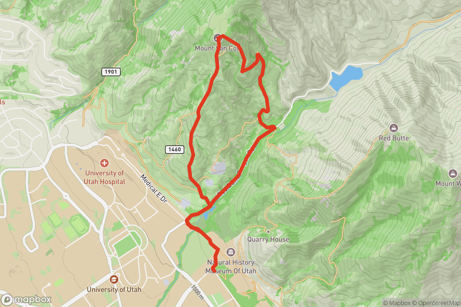
Mount Van Cott
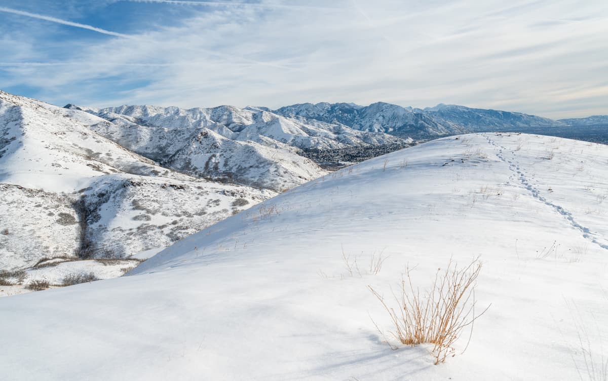
Located in the foothills above the University of Utah Medical Center, Mount Van Cott is a popular peak whose summit is short but strenuous, with over 1,400 feet of elevation gain. Its name honors Lucy May Van Cott, the inaugural dean of women (1907-1931) at the University of Utah.
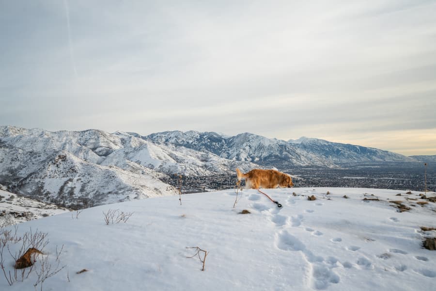
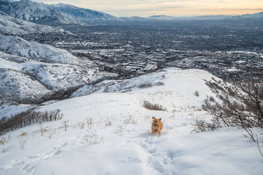
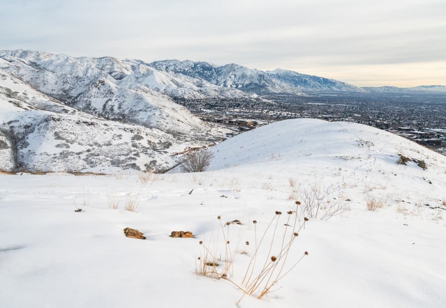
Once at the summit, you’ll enjoy views of Salt Lake Valley, Antelope Island, Oquirrh Mountains, and the Wasatch Range. To avoid an out & back, you can take a social trail down to Red Butte Canyon Road, which leads back to the trailhead and forms a loop.
Getting there
Although the trailhead is located next to Red Butte Canyon Rd, which requires either a permit or payment to park, you can park along Colorow Drive for free, adding only 1-mile roundtrip to the route. From Colorow Drive, walk up Wakara Way until you see the paved Bonneville Shoreline Trail on your left. Take this trail to Red Butte Canyon Rd and turn right. Walk up the road, and the trailhead for Mount Van Cott will be on your left.
Conditions
Now
Sat
Sun
Mon
Tue
US Air Quality Index (AQI)
Route
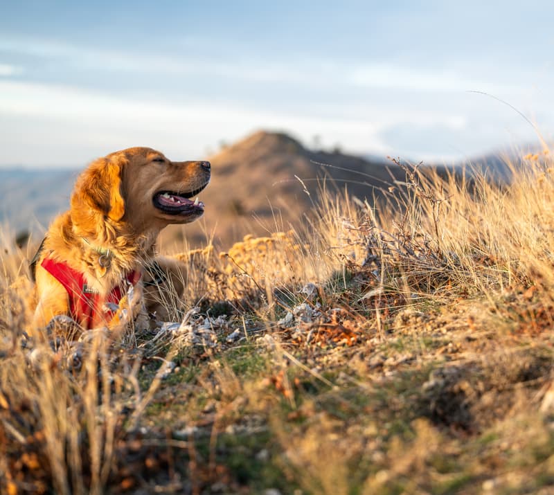
What you'll see


