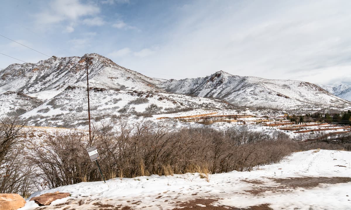

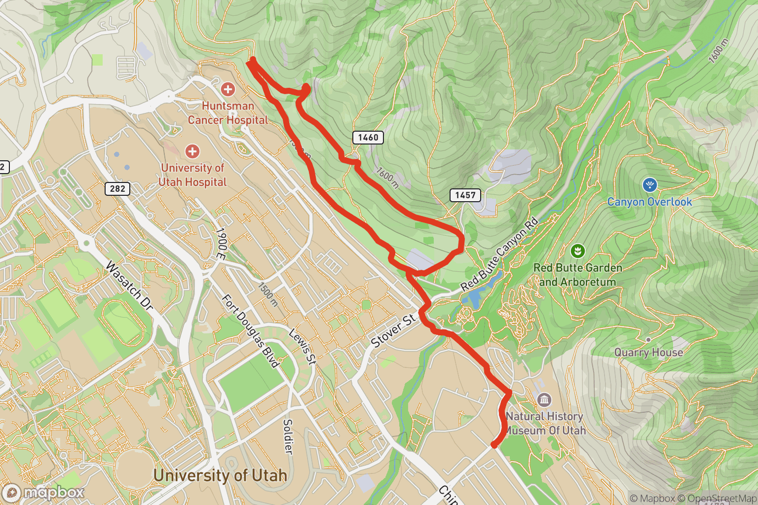
Bonneville Shoreline University Loop
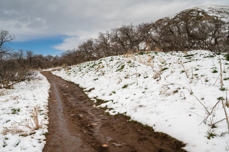
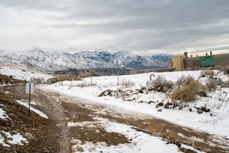
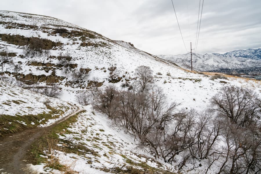
This 2.4-mile loop along the Bonneville Shoreline Trail (BST) is flat and easy, passing right by the University of Utah Hospital. Though not the most exciting route, you’ll see decent views of Salt Lake Valley and Red Butte area along the way. This route is also a good option in the winter after it snows because it’s relatively low elevation and gets quickly tracked out due to its popularity. When you’re ready for more adventure, try the Mount Van Cott Trail, which starts from the same area.
Getting there
There’s free 3-hour parking along Colorow Drive. Once parked, turn right onto Wakara Way and head northeast until you see a trail on your left. Take this connecting trail to Red Butte Canyon Road and turn right. The Bonneville Shoreline Trail will be just past the parking lot on your left.
Conditions
Now
Mon
Tue
Wed
Thu
US Air Quality Index (AQI)
Route
What you'll see


