Parley's Point Trail
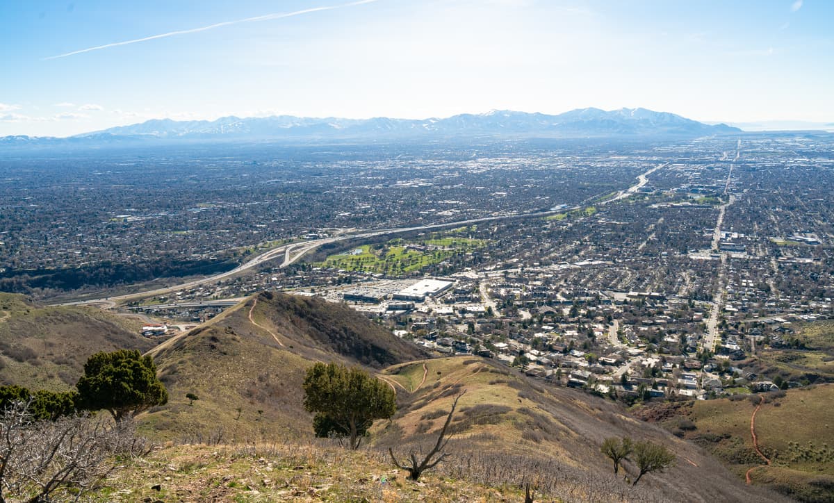
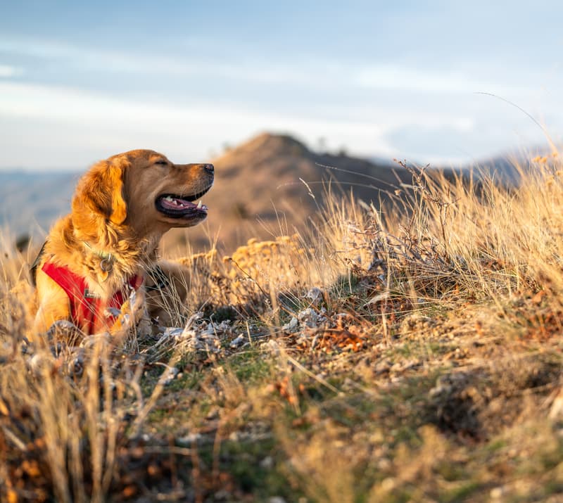
With lovely views of Salt Lake Valley and convenient access, it’s no wonder that Parley’s Point Trail is one of the most popular sections of the Bonneville Shoreline Trail near Salt Lake City. When the weather is nice, expect to see many other hikers, runners, and bikers with their dogs sharing the trail. Still, this trail can be a solid option if you’re in a hurry.
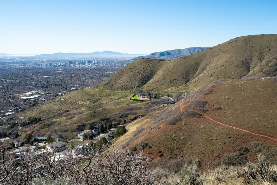
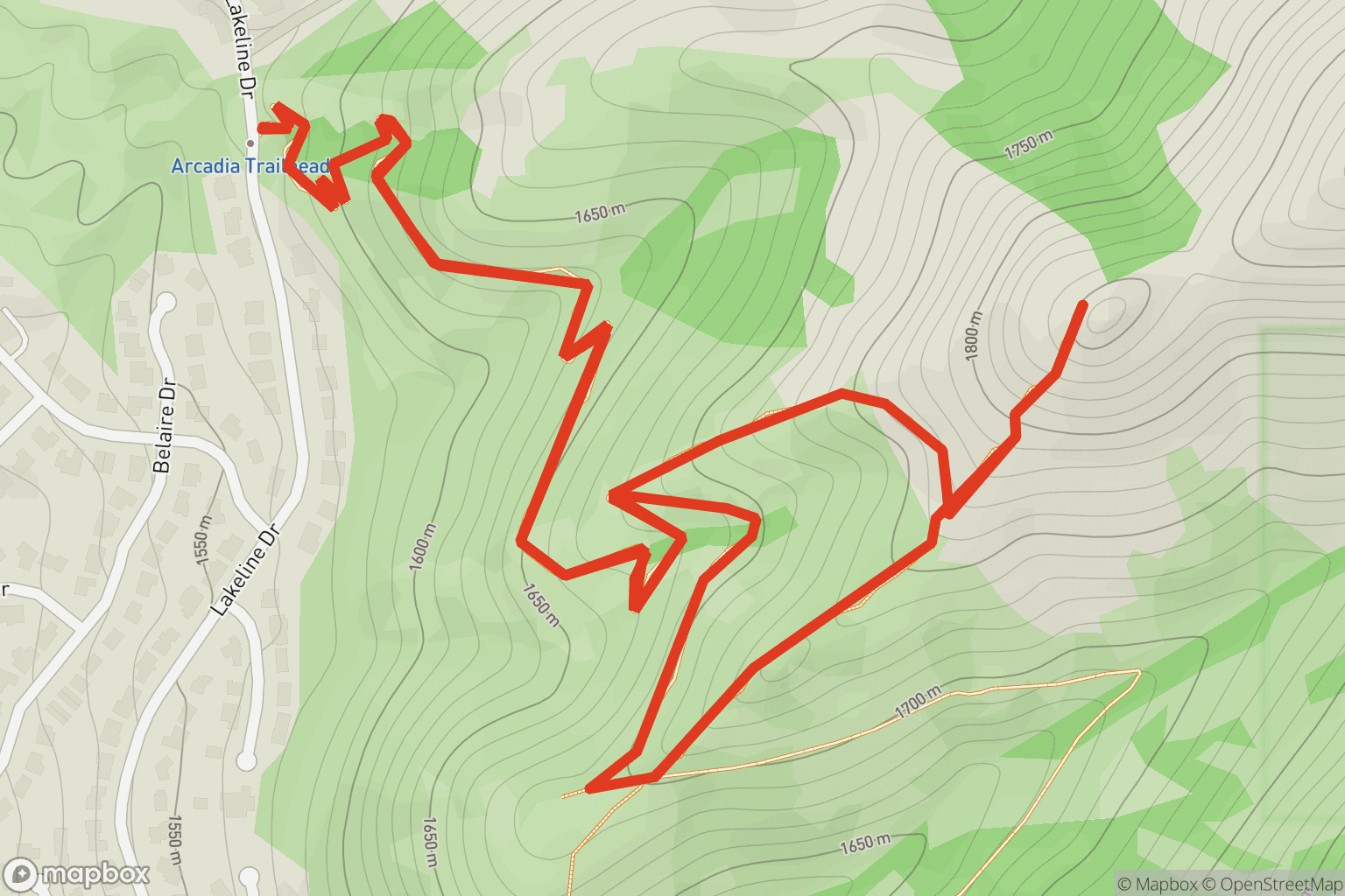
To do this route, follow the main trail for 1.1 miles to the overlook of Salt Lake Valley. From the overlook, you have three options:
- Return the way you came to make the route an out-and-back
- Continue on the main trail to Cannon Pointe Loop
- Take an unmaintained steep trail to Pencil Point (for advanced hikers)
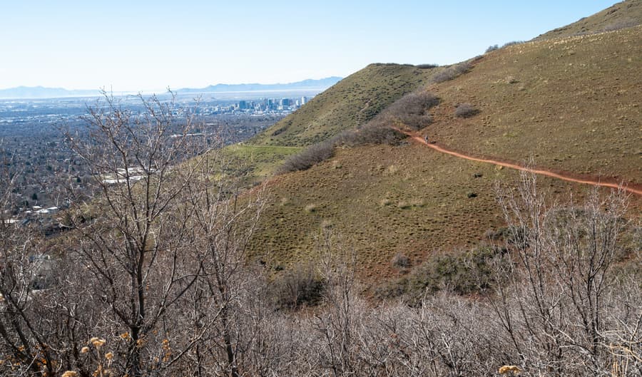
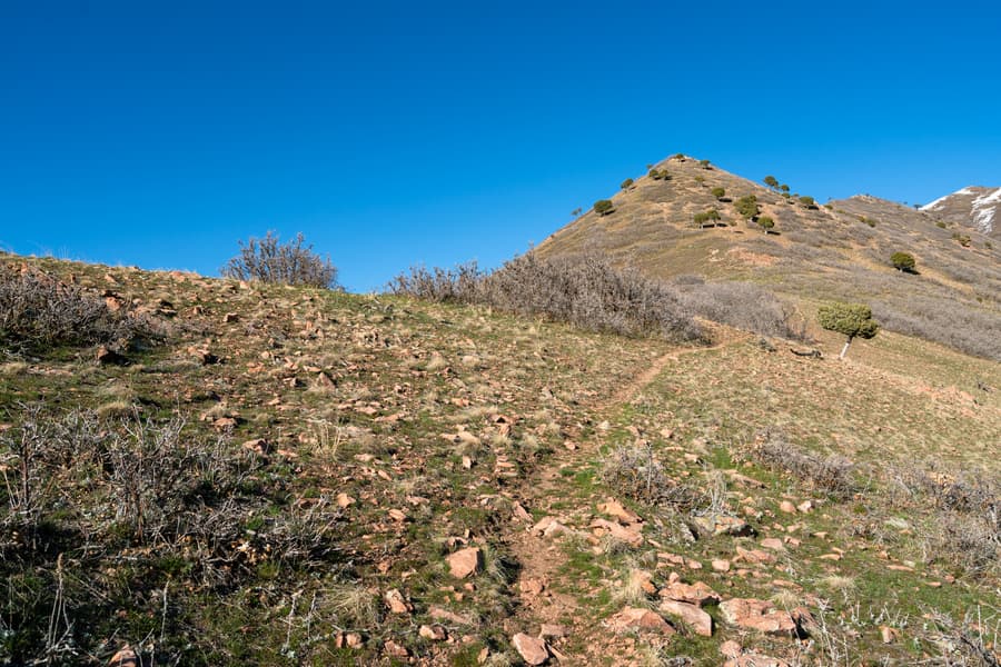
The route shown on this page’s map heads up to Pencil Point, but choose the option that most appeals to you! The trek up to Pencil Point is only about half a mile but gains about 500 feet of elevation in that distance and requires some scrambling up to the 6,129 ft peak. Once at the top of Pencil Point, retrace your steps back down for about 0.1 miles and look closely for another faint social trail on your right. This trail connects back to the Parley’s Point Trail and adds some additional spice to your adventure.
Getting there
The trailhead is on Lakeline Drive, where there is free parking alongside the road. When the weather is nice, expect both sides of the road to be lined with cars.
Conditions
Now
Tue
Wed
Thu
Fri
US Air Quality Index (AQI)
Route
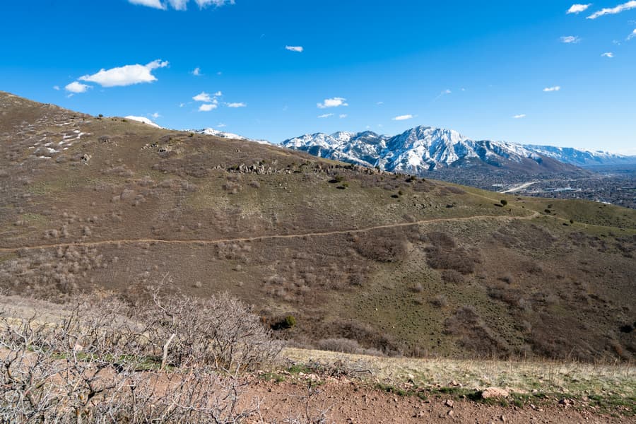
What you'll see


